Insights for your industry

Innovation in our products and services for global industries

Helping the industry to make quick informed decisions with better geographical information. Providing data and analytics for wide industry including agriculture, environment, energy, defence, security, forestry, oil & gas, mining …

Agriculture & Environment
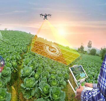
In the Agriculture & Environment sector, we provide precision mapping, satellite data, and AI-driven solutions that empower farmers and environmentalists alike. Our services aid in optimizing crop yields, monitoring environmental changes, and promoting sustainable land use practices.

AI/ML Models:
For the Defence & Intelligence industry, our advanced geospatial services are invaluable. We offer real-time intelligence, satellite data analysis, and precise mapping, enabling defense agencies to enhance national security, disaster response, and strategic planning.
Urban Planning & Infrastructure:
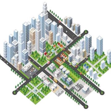
Urban Planners and Infrastructure developers benefit from our geospatial expertise, which supports informed decision-making for smart cities. Our services include data management, 3D modeling, and urban growth analysis, facilitating efficient urban planning and infrastructure development.
Oil & Gas:
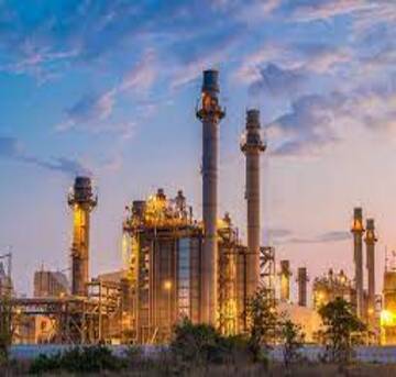
The Oil & Gas sector relies on our geospatial intelligence for efficient exploration, monitoring, and infrastructure management. We offer solutions that help optimize drilling locations, monitor pipeline networks, and ensure environmental compliance.

Forestry & Land Use:
For Forestry & Land Use, our services include environmental monitoring, land cover classification, and change detection. These tools assist in sustainable forestry management, habitat preservation, and monitoring deforestation.
Mining:
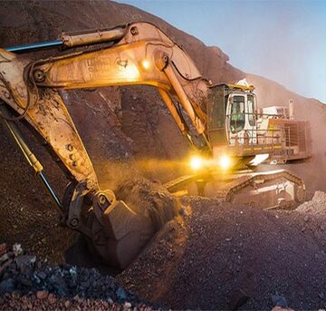
In the Mining industry, we provide satellite data analysis, environmental monitoring, and precise mapping for efficient resource extraction. Our solutions support sustainable mining practices, safety compliance, and efficient operations.

Industries we serve: tailored geospatial solutions for diverse sectors

At R Cube, we understand that geospatial intelligence transcends boundaries and serves as a vital asset across a spectrum of industries. Our expertise and innovative solutions cater to a wide range of sectors, empowering organizations to leverage location-based insights for enhanced decision-making and operational efficiency. Explore how our geospatial services are making a difference in various industries:

Real Estate and Construction:

Our precision mapping and 3D modeling services are instrumental for real estate developers and construction companies. Accurate geospatial data facilitates site selection, land use planning, and infrastructure development, ensuring projects are executed efficiently.

Environmental Conservation:

Environmental organizations rely on our environmental monitoring solutions to track habitat changes, deforestation, and climate patterns. Our tools aid in preserving ecosystems and facilitating data-driven conservation efforts.

Agriculture:

Precision agriculture is revolutionized with our satellite data and AI-driven analytics. Farmers benefit from insights on crop health, soil conditions, and weather patterns, resulting in optimized crop yields and sustainable practices.

Urban Planning and Infrastructure:

Urban planners leverage our data management systems and geospatial analysis tools to design smart cities. Our solutions aid in transportation planning, infrastructure development, and urban growth management.

Energy and Utilities:

Energy companies use our geospatial intelligence to streamline power grid management, identify optimal locations for renewable energy projects, and monitor infrastructure for maintenance and efficiency.

Defense and Security

Defense and security sector plays a vital role in protecting national interests and ensuring the safety of its cisitzens. Our products and services are designed for intelligence, surveillance & reconnaissance, border & coastal security, disaster management & emergency response, home land security. 

Transportation and Logistics:

Transportation companies optimize route planning, logistics, and fleet management with our geospatial solutions. Real-time data ensures efficient supply chain operations.

Mining and Natural Resources:

Mining companies access our satellite data and environmental monitoring tools to manage resources sustainably, reduce environmental impact, and ensure regulatory compliance.

Healthcare:

Healthcare organizations use geospatial insights to enhance disease mapping, healthcare facility location planning, and resource allocation for improved public health outcomes.

Education and Research:

Educational institutions and research centers benefit from our geospatial software and data resources for academic research, GIS education, and environmental studies.

Tailored Solutions for Unique Needs

No matter the industry, R Cube offers tailored solutions that cater to specific challenges and objectives. We collaborate closely with our clients to understand their unique requirements and deliver geospatial intelligence that drives success.

Scroll to Top