Crop Management and Monitoring
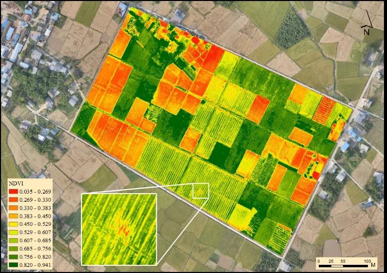
Maximize Yields and Ensure Crop Health with High Frequency Satellite Imaging Satellite images enables precision digital agriculture and pest detection at scale. By getting access to the daily satellite data helps informed crop management decisions, enabling...
Machine Learning with Remote Sensing for Humanatarian Applications
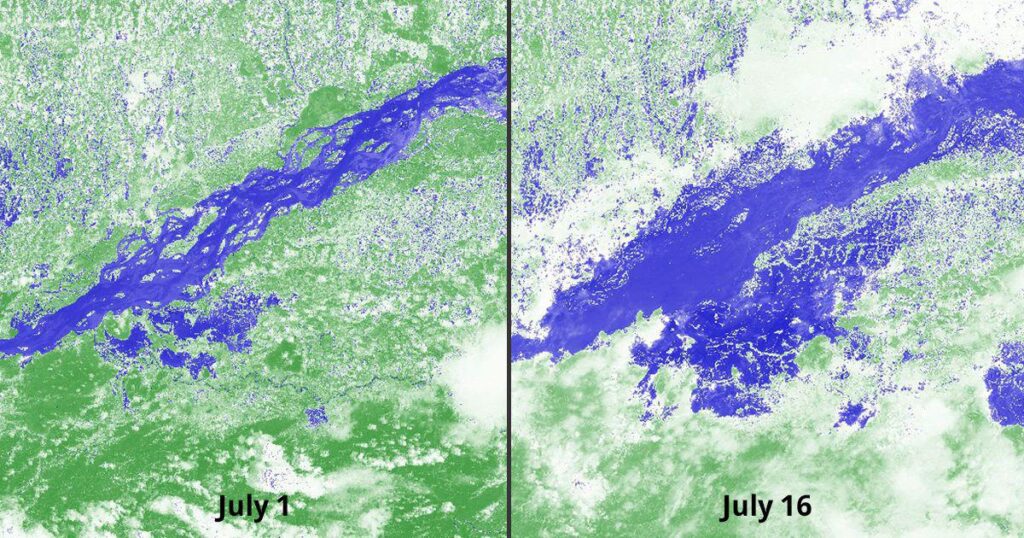
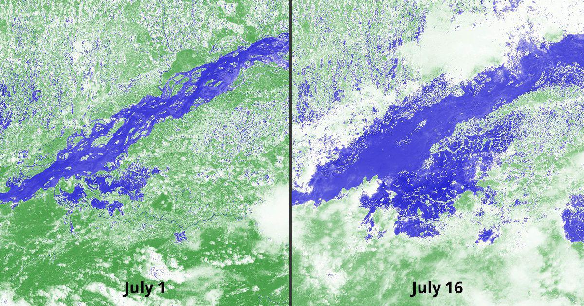
The coordination of humanitarian relief, e.g. in a natural disaster or a conflict situation, is often complicated by a scarcity of data to inform planning. Remote sensing imagery, from satellites or drones, can give important...